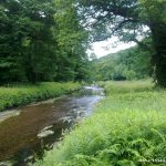
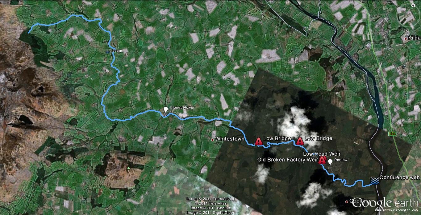
The river rises in the Comeragh mountains near Rathgormuck and flows to Clonea Power before passing through Whitestown West and Portlaw before joining the River Suir. The river is relatively shallow and requires alot of water to get the level up. Between the mountains and Portlaws it is crossed by a number of bridges. At the site of the Old Tannery in Portlaw lots of old machinery litters the river and a dangerous weir with high sided concrete walls lies on the run out to Portlaw.
I'll flesh this section out a little later, for the moment I'm just adding it here so people will be aware of its location and the dangers in the form of the weir and other obstructions.
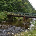
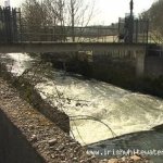
Old machinery related to the old tannery in Portlaw that remains in the river. The weir after the factory. Through Lord Waterford's estate a number of low bridges cross the river. Between the mountains and Clonea farmers have crossed the river with fences in places and a low concrete access bridge at one point could cause a real danger in high water.
As most people will be aware, two deaths occurred on the river at the low head dam weir after the old Tannery in Portlaw. As far as I know the river is fairly popular for fishing but I'm not sure any issues exist as it isn't paddled that often.
There is a river level gauge at the bridge in Portlaw and at the bridge in Clonea village.
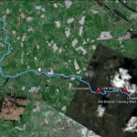
The river is located between Clonea Power, off the Carrick-on-suir road R677 and flows to Portlaw where it joins the Suir. There are lots of good places to park depending on where you choose to get on. the river is 28Km from source to is confluence with the Suir.
Depending what section you choose to run. Probably best to run in small sections to allow time to scout so get outs could be Clonea or Portlaw. It runs through lord Waterford's Estate and access through here is not ideal as its private land even though a road through the estate is open for visitors.
Interactive map loading...
Michael Flynn