Winding grade 2+ river which responds to recent rain.
This is a winding tree lined natural channel. It travels through framland, before reaching Glenbeigh and entering the sea in Rossbeigh creek. Its a pleasant run that could be used as a warm up for paddling elsewhere
In a number of places there are corners that eddie hopping may be needed to maintain line of sight. Other than that its a straight forward run down to Glenbeigh. After the bridge in Glenbeigh the river splits into two channels. The river right channel was mostly blocked with trees and the river left narrow channel was clear when I paddled it.
The river flattens out after the channels rejoin before the get out.
Overhanging trees from the river banks.
None that I am aware of.
Look from Behy bridge, if its rocky there don't bother.
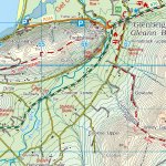
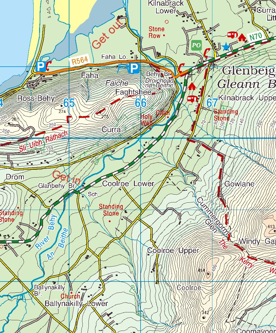
Start at Glanbehy bridge where the N70 goes over the Behy upstream of Glenbeigh. There is a school with plenty of parking and a turn around area.
It is possible to start at Ballynakilly bridge further upstream. But if you do please use the second field downstream from the bridge, the manicured lawn is to be avoided.
From the get in drive along the N70 back towards Glenbeigh, turn left onto the R564 towards Rossbeigh, cross over Behy bridge and drive for about 400m. Turn right on to a local road and drive 500m along this until you reach a tramac turning area in front of some houses. From the river you will see concrete steps leading to this turning area.
Interactive map loading...
Behy river
Peter