Galway, Connacht Grade: 2 3 km
0.787 m steady No current reading or no levels setFrom long run,
get in at bridge, no problems, fast flat water, on first right turn there is a low wire so keep an eye out for it.
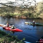
First main feature is a tongue with two big eddies on both sides, perfect for teaching.
This is about ten minutes into the run.
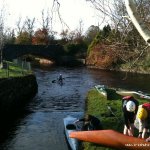
About 30 mins from there you will see an old mill and bridge(second get in). This leads into the first of the wave trains. No problem in medium water but in high water it leads in trees so watch those new people.
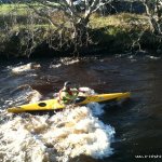
About 10 mins from that is the second wave train with lots of little tow back stoppers that are randomly in the middle of the river, nothing that will hold you, just scare the beginners. At the end of this section is the get out. You can walk path back up on river right to run the last section again
For adventure trips with a difference, try paddling from the get out of this river to the get out of Tuam. One or two small rapids but nothing scary for beginners. I've started bringing people who are looking for or just got their level 2 certs. It is a long flat water run with the Tuam hole at the end. The drop into the hole cant be seen by beginners and usually they get a big rush out of it. Nice summer canoe run.
Trees and Swans
No issues.
This guide has a gauge but no paddling levels yet.
If you have run it, you can help. Tell us the level it needs to be worth doing (Low), and the best and highest levels if you know them. Once an admin approves them, this guide gets level colours, a place in "Running now" and a count of paddle days per month.
Suggest levels for this guideLoading levels...
Written by paddlers. If you know this river, sign in and edit these notes. Changes are reviewed before they appear.
From the get out look along the walls at river bank by the car park. Medium level is about a metre below the top of the wall.
This section is up river of the Tuam Hole. You can read the gauge for that online.
How high the river usually gets each day, from 8 years of readings (2018 to 2026)
| Month | Typical daily high | 8 days in 10 between |
|---|---|---|
| January | 0.993 m | 0.769 and 1.572 m |
| February | 1.075 m | 0.738 and 1.62 m |
| March | 0.988 m | 0.672 and 1.506 m |
| April | 0.759 m | 0.584 and 1.088 m |
| May | 0.616 m | 0.515 and 0.778 m |
| June | 0.541 m | 0.465 and 0.704 m |
| July | 0.518 m | 0.445 and 0.855 m |
| August | 0.616 m | 0.407 and 1.077 m |
| September | 0.632 m | 0.409 and 1.123 m |
| October | 0.968 m | 0.639 and 1.455 m |
| November | 1.074 m | 0.747 and 1.631 m |
| December | 1.099 m | 0.812 and 1.568 m |
How to read this graph. The line is the typical daily high; the shaded band covers 8 days in 10. This guide has no paddling levels yet.
Past levels are no guarantee of future conditions. Readings can be late or wrong: check the river on the day. Level colours, "Running now" and paddle days are a guide only, not a sign that the river is safe to paddle. Read about gauge data and levels.
Contains Irish Public Sector Information licensed under a Creative Commons Attribution 4.0 International (CC BY 4.0) licence (source waterlevel.ie, provided by the Office of Public Works).
Mliltown Drive into Milltown from Mayo side, turn left at first turn, head up along road. Short run is get in on first right out of town, go down road for 200 metres and get in at bridge Long run keep going on the original road out of town, keep going for about 3 kilometres until you come to bridge. Get in on right after bridge. Get out is in Milltown village, at playgorund opposite church, can't miss it - by slide in centre of village beside their carpark.
Take out in Milltown as you enter the village by boat you will see a stone wall on both banks, keep river left until you can see the bridge, get out here at steps. Small eddy sometimes so keep your distance.
Interactive map loading...
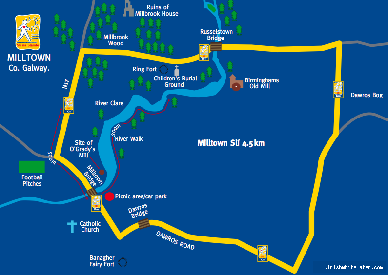
Milltown Galway
Unknown
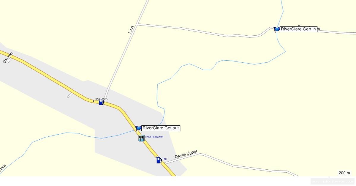
Bryan Fennell