A nice short, continuous introduction to whitewater in county Wicklow.
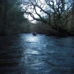
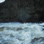
A nice little run. Great river for kayakers wanting a step up from the liffey or similar rivers. Most rapids are boulder garden in nature. Good bouncy ride with a bit of water. A bit of rock dodging to do on lower water. Lots of opportunities for eddy hopping etc. The gorge section is a nice rapid with a bit of a drop/hole at the end.
The river is all read and run, you can get it done in 20 mins, so its good for a quick blaze.
At the get on be careful of spikes sticking out of the small weir. I'd recommend getting on after the weir as in high water they may be hidden but they would do serious damage to a boat or a person.
There was a large strainer river left on the third set of rapids March 2013. Keep river right, and be careful with any weaker paddlers. Portage may be necessary for weaker paddlers as the main flow runs into the strainer.
This guide has a gauge but no paddling levels yet.
If you have run it, you can help. Tell us the level it needs to be worth doing (Low), and the best and highest levels if you know them. Once an admin approves them, this guide gets level colours, a place in "Running now" and a count of paddle days per month.
Suggest levels for this guideLoading levels...
Written by paddlers. If you know this river, sign in and edit these notes. Changes are reviewed before they appear.
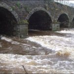
Look downstream from the main bridge in Aughrim. If you think you'll make it down here its runnable. If the ledge just downstream of the bridge looks like a nice playhole then you're in for some fast bouncy fun.
How high the river usually gets each day, from 8 years of readings (2018 to 2026)
| Month | Typical daily high | 8 days in 10 between |
|---|---|---|
| January | 0.839 m | 0.676 and 1.345 m |
| February | 0.905 m | 0.625 and 1.448 m |
| March | 0.827 m | 0.617 and 1.178 m |
| April | 0.63 m | 0.486 and 0.948 m |
| May | 0.56 m | 0.436 and 0.824 m |
| June | 0.516 m | 0.406 and 0.718 m |
| July | 0.462 m | 0.383 and 0.772 m |
| August | 0.453 m | 0.337 and 0.782 m |
| September | 0.544 m | 0.399 and 1.087 m |
| October | 0.822 m | 0.536 and 1.433 m |
| November | 0.987 m | 0.64 and 1.497 m |
| December | 0.975 m | 0.721 and 1.441 m |
How to read this graph. The line is the typical daily high; the shaded band covers 8 days in 10. This guide has no paddling levels yet.
Past levels are no guarantee of future conditions. Readings can be late or wrong: check the river on the day. Level colours, "Running now" and paddle days are a guide only, not a sign that the river is safe to paddle. Read about gauge data and levels.
Source: EPA HydroNet, Wicklow County Council.
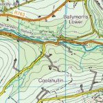
The get-on is situated in the village of Aughrim. There is a car park beside Lawlesses hotel. There is an easy place to get on across the road beside the bridge.
From Aughrim take a left at the second bridge which is signposted for Arklow. Around 2k down this road the road turns sharply left over a bridge. There is a lay-by in which to park on the right just before this bridge.
Interactive map loading...
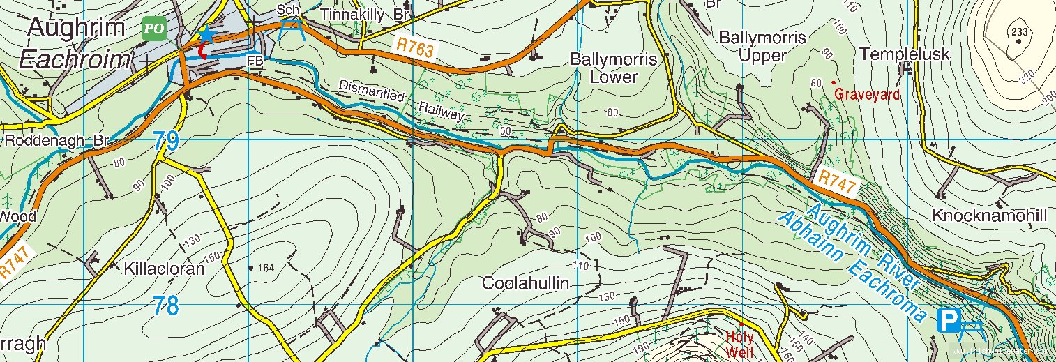
Aughrim river
Peter